See Jamison Valley circuit walk part-1 here.
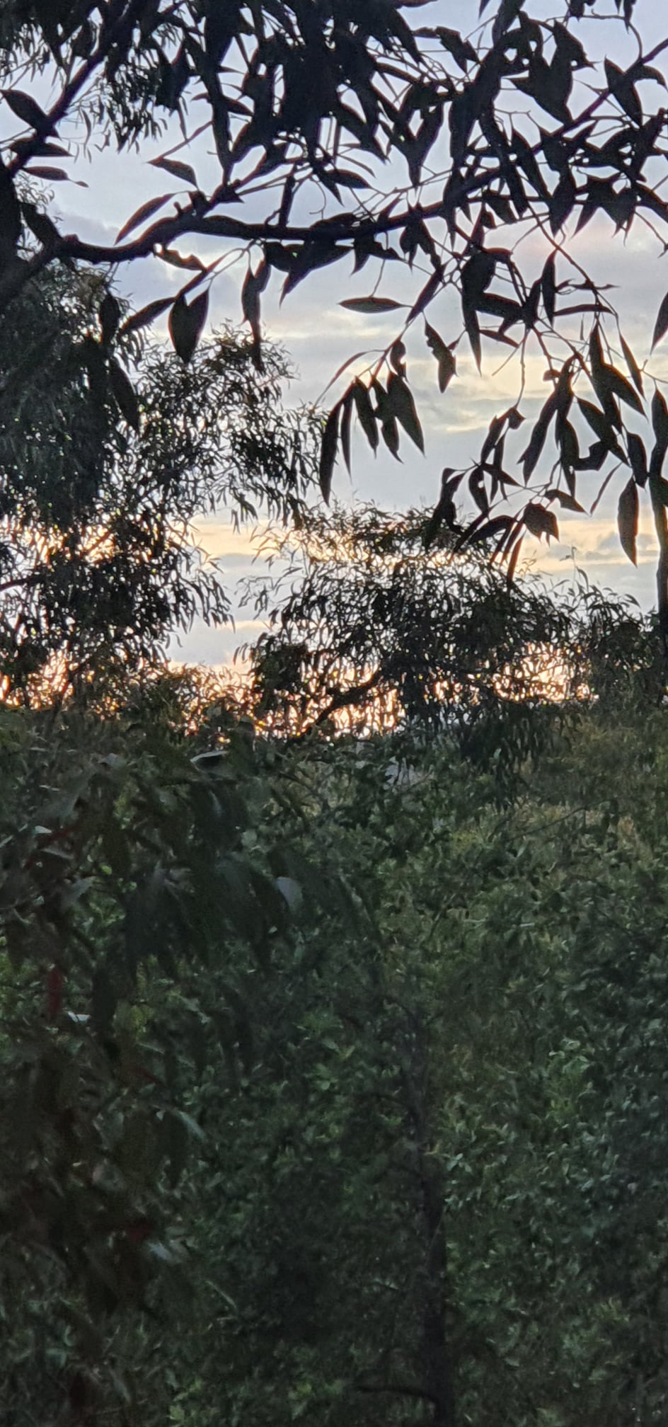
Fear of the unknown is the thing. Once you are in it, the imagined menace can vanish. So it was this night in the Jamison Valley. The mystical sublime melts away to morph into a reality of mosquitoes, birds, an early-morning fall of rain, and picturesque vistas.

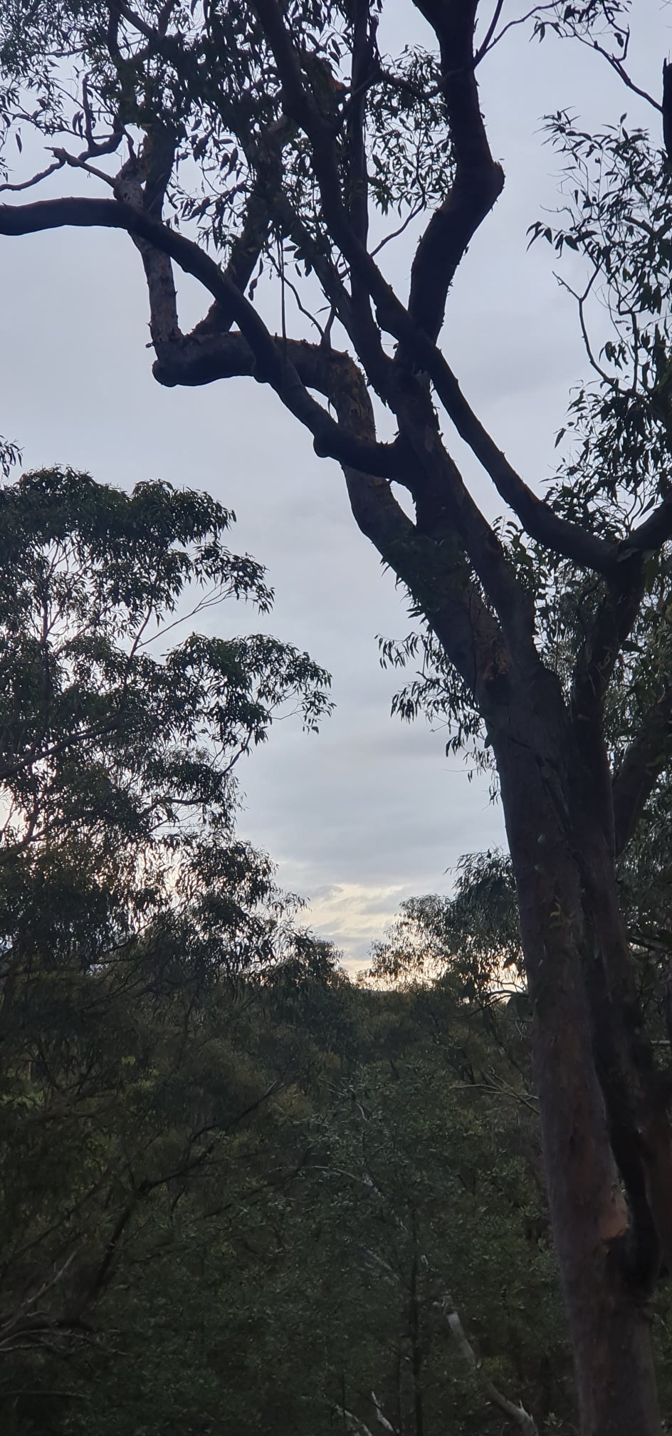
Day two I awoke early, by chance not design. “May as well get going now I’m up”, I thought, or something like that. It was a long day. In fitter times, and without an overnight pack, I’ve sped around this route in less than a day. This time, for me, it was hard going.
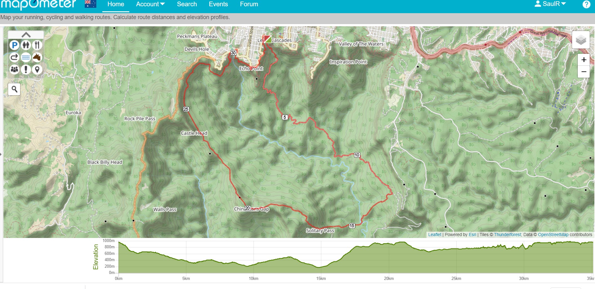
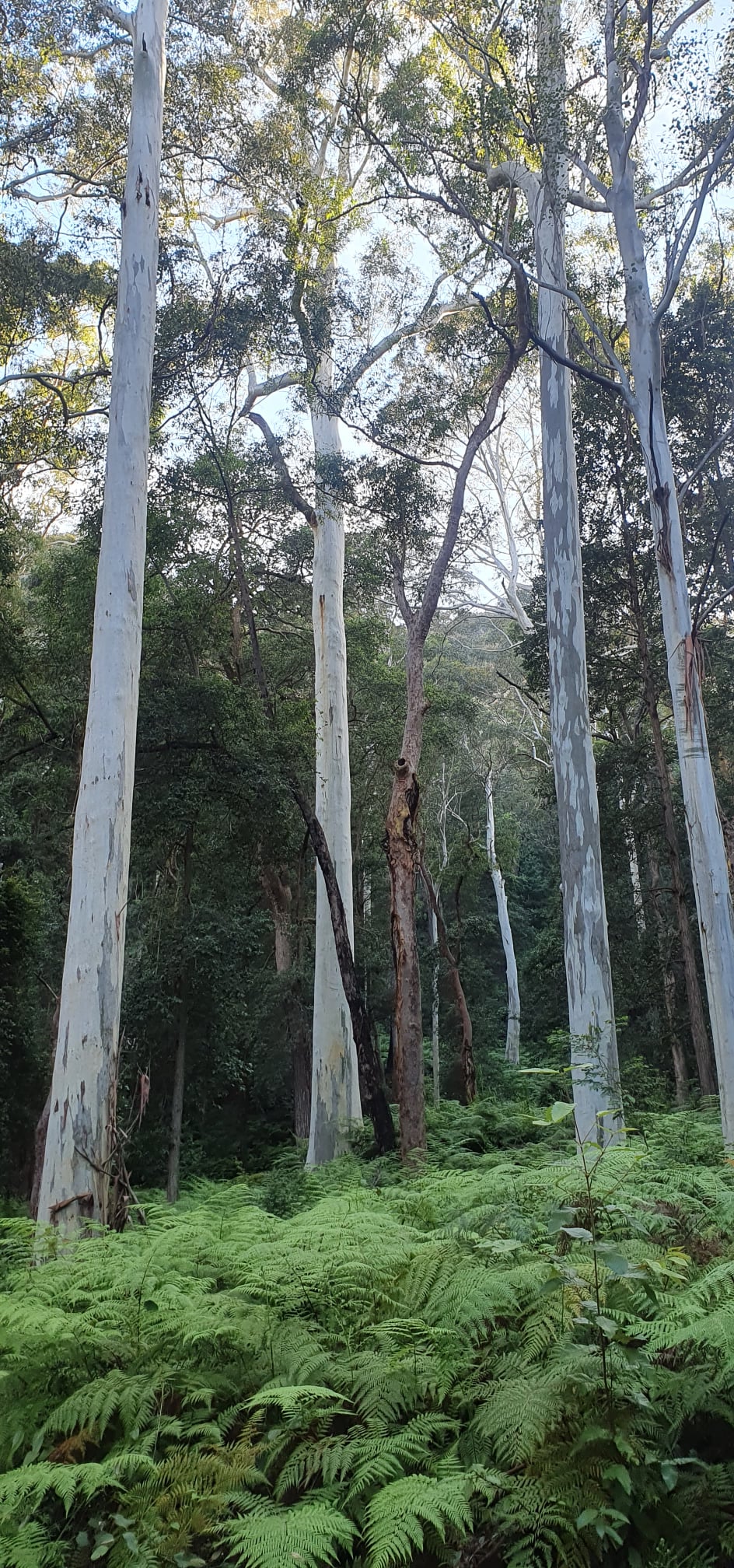
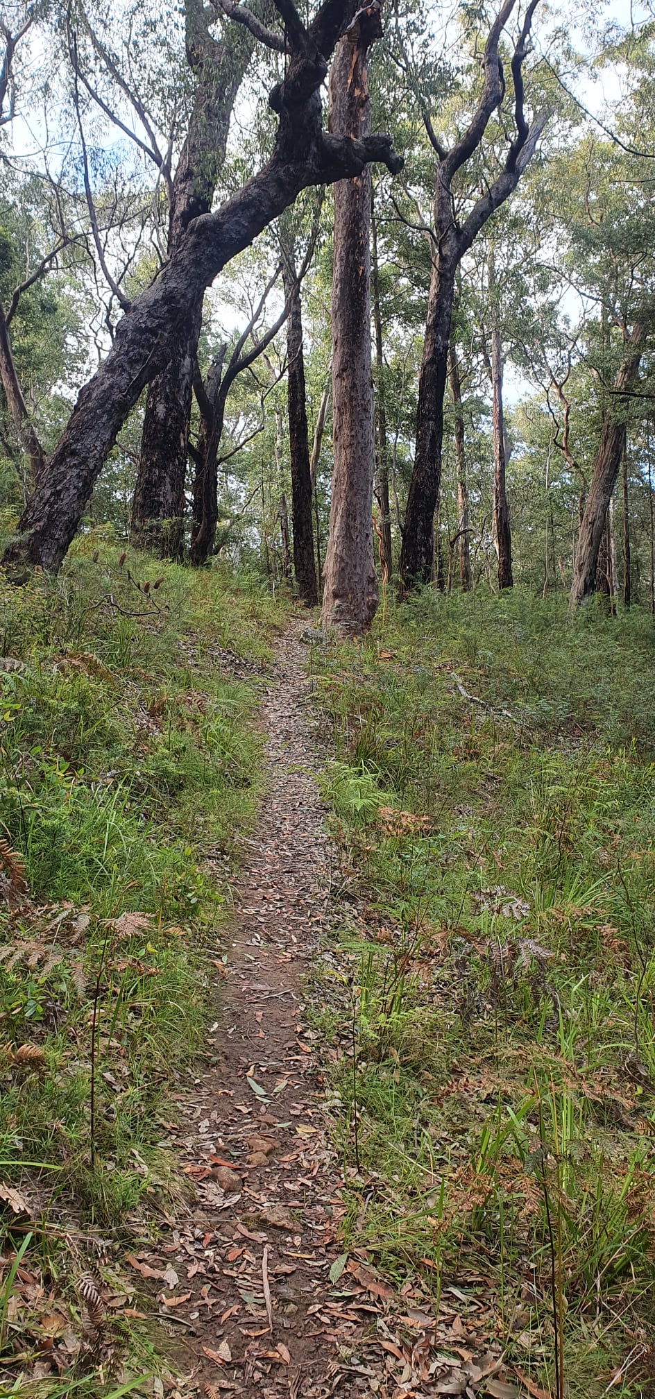
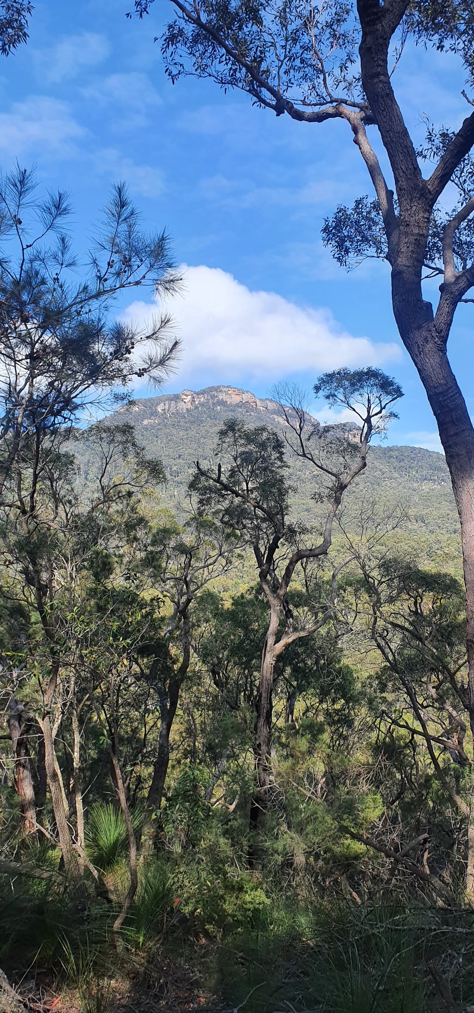
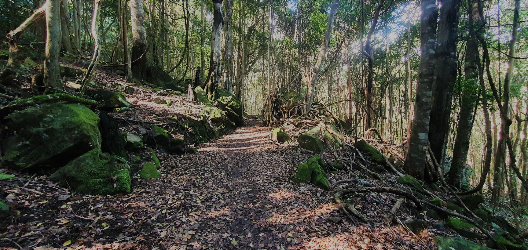
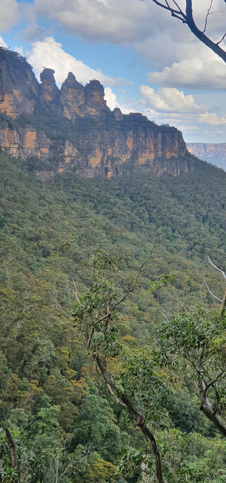
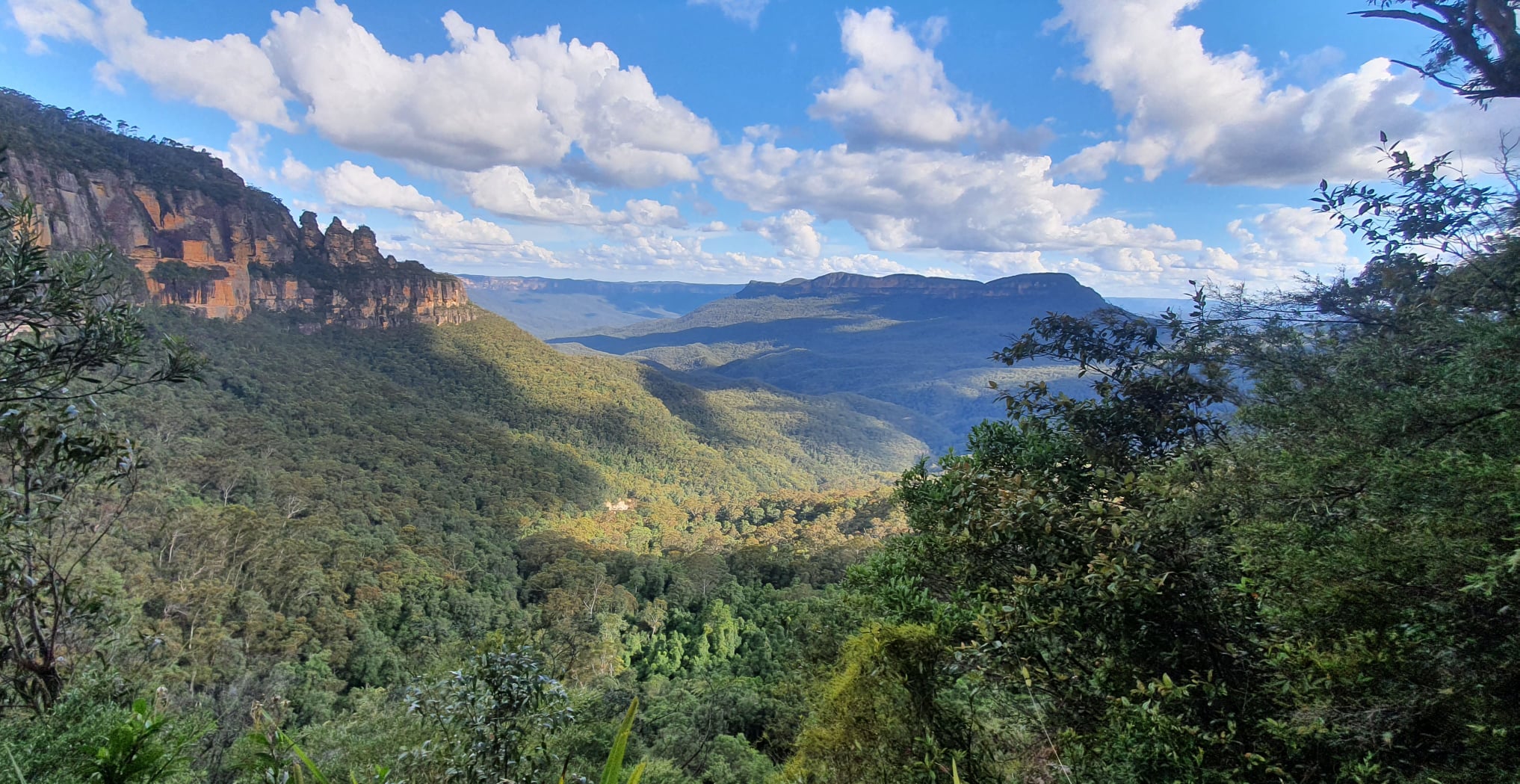
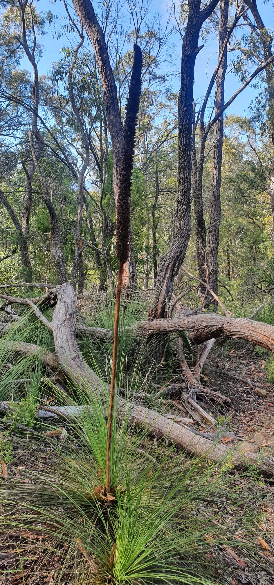
The route was simple: follow the Sublime Point fire trail until the junction with the track down to the Kedumba River crossing, up and over Mt Solitary, and back around the edge of the valley to the car. . Unlike the shoes-off fords along the fire trail, the Kedumba crossing was dry with low water and a well-placed log. From the river the route immediately rises and keeps going up, and up. It is a very popular route (I passed several other parties, including a group of trail runners) and the steep track is badly eroded in places. Gradually long sections are being repaired with pine log steps.
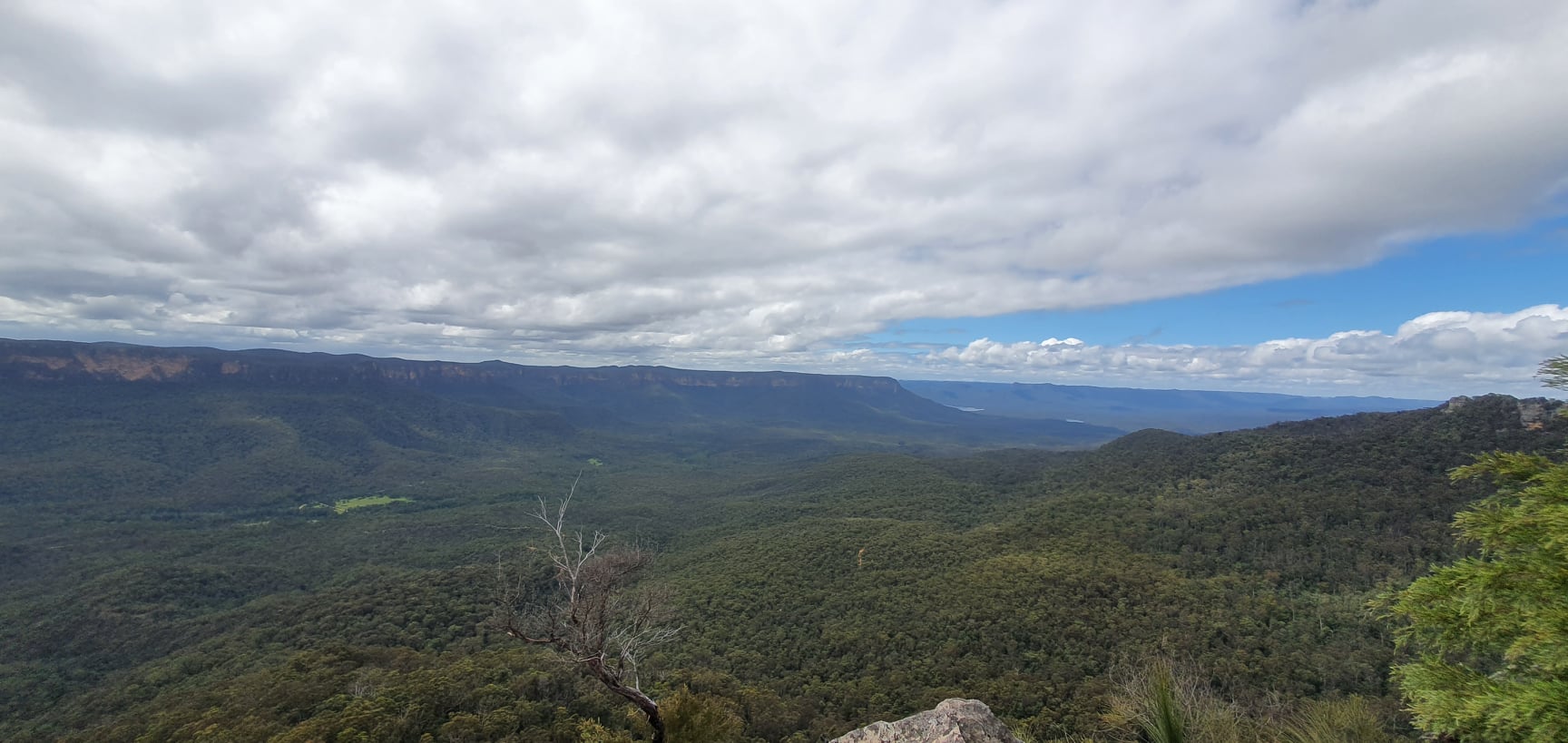
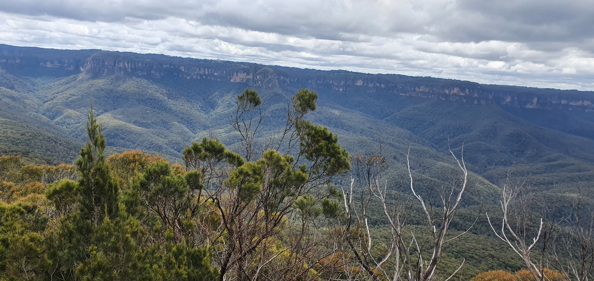
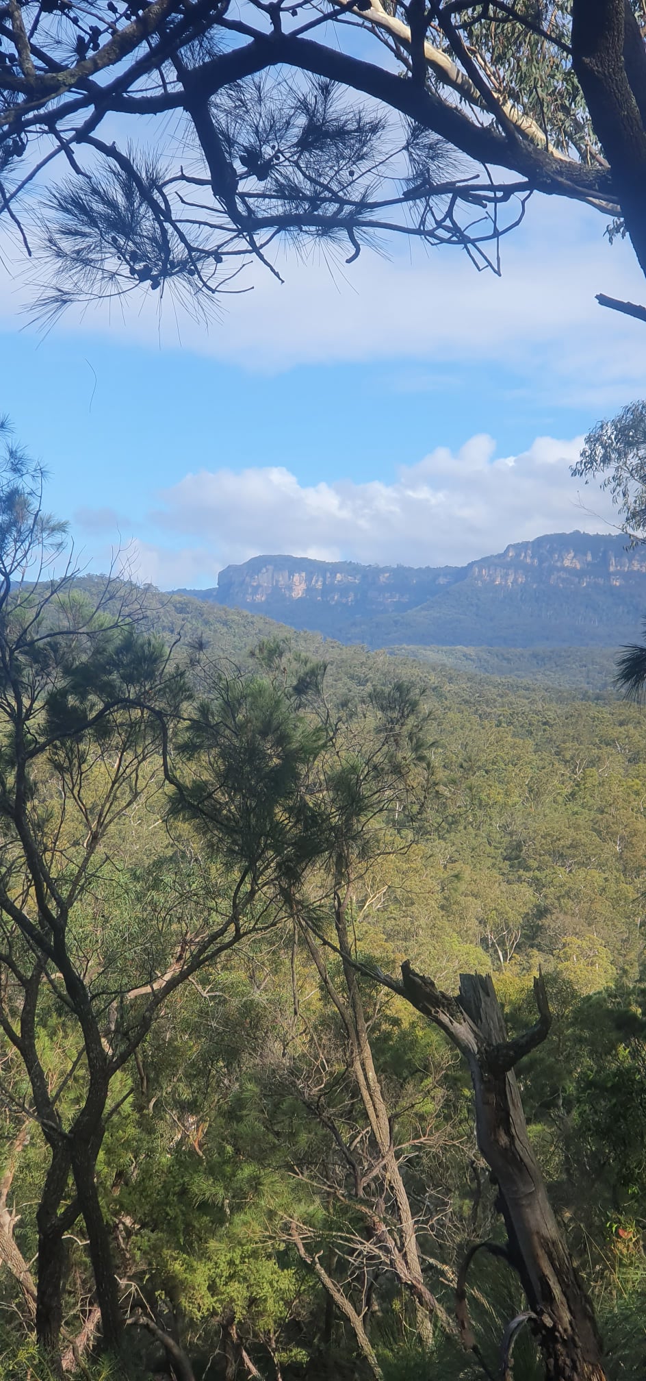
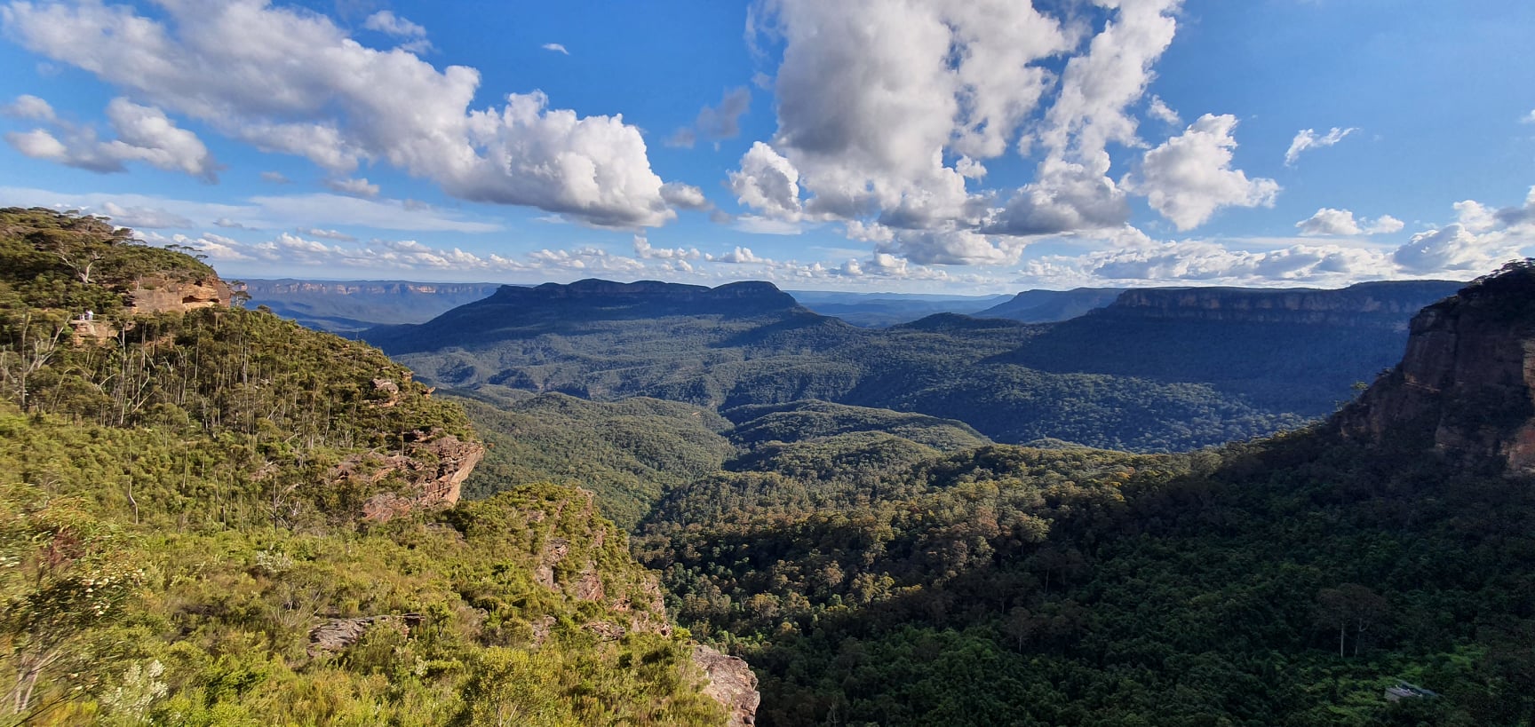
The way up to the top of Mount Solitary is steep and I found it very gruelling this time. At the top of the main climb is a rocky outcrop, “The Col”, affording a panoramic view over the kedumba valley down towards Lake Burragorang, glimpses of blue water through the distant trees. Burragorang is the lake held back by Warragamba Dam and is Sydney’s main water supply. Submerged beneath its waters is the village of Barragorang. The Burragorang valley was once a popular holiday spot for Sydneysiders. If the Dam wall is raised to satisfy, momentarily, the greed of Western Sydney property developers then much of the (World Heritage listed) wilderness visible from The Col will be submerged and destroyed. That would be sad.
The Col has its own sad history. In December 2006, poor 17-year-old David Iredale wrote his last words in the bushwalkers log book that is kept there in a metal container. Noting that he needed water, he died of dehydration after rushing off ahead of his two schoolmates who were completing a “Duke of Edinburgh Award” trip with him. It was hot, he ran out of water, left the track and expired but not before making six desperate calls for help to the 000 emergency line. Despite weak reception he got through, only to be scolded at one point by a phone operator. After a week his body was found hunched over a dry creek bed. Had he kept on the track, he may have made it – the river always flows. Had he gone off to the other side of the track there is a better creek there and even an old dam that often holds water. But if you go there, especially in summer, take plenty of water.
Despite being less than a day’s walk from Katoomba, and in sight of the famous tourist overlook at Echo Point, the Jamison Valley still has teeth. Step off the popular tracks and the scrub is dense. You can disappear if you come to grief. At the Cedar Valley end, British backpacker Jamie Neall went missing for twelve days. On the other hand, it is just a days hard walk from Katoomba and if you know the area (or can read a map and navigate), its just another place you can find your way through. People have been walking that valley for thousands of years. Far as I know, people lived there for eons.
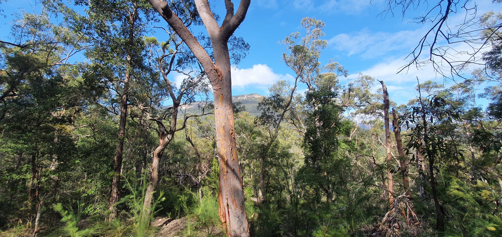
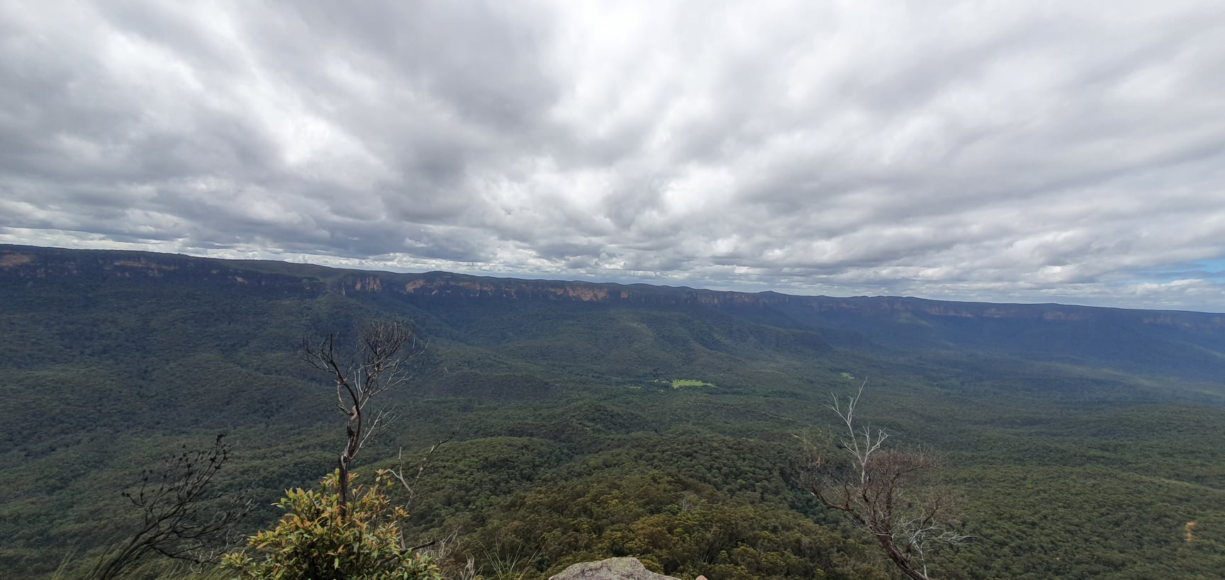
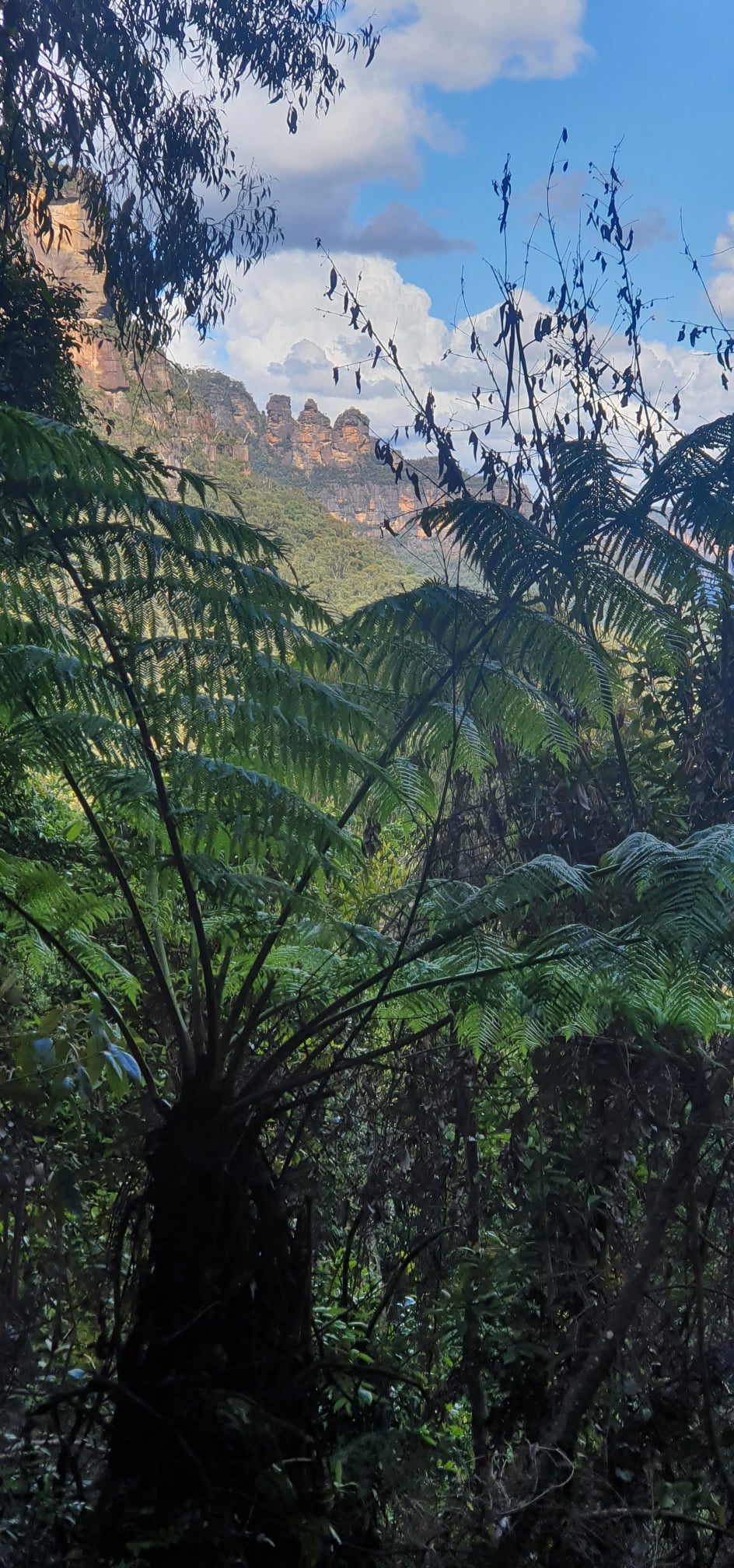
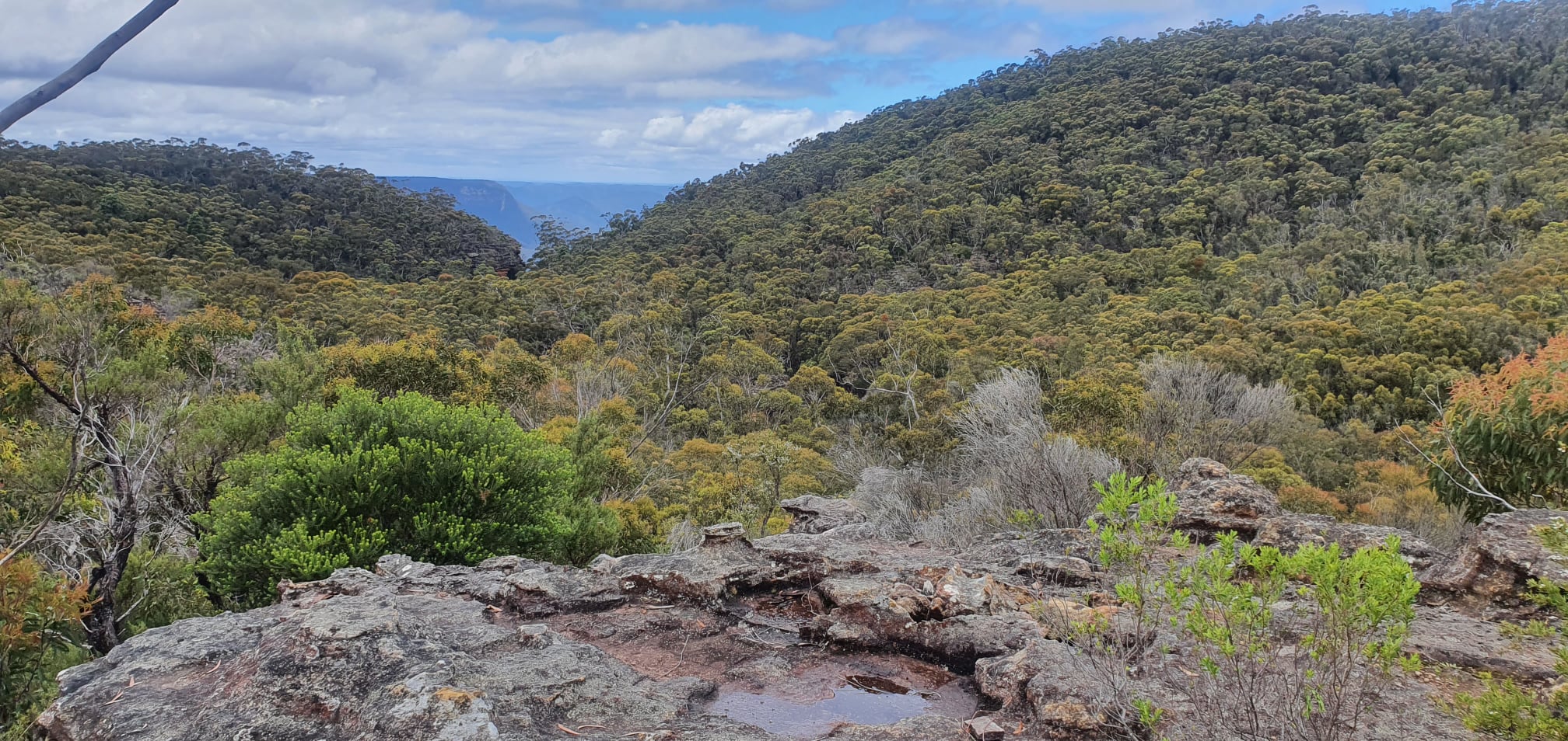
The Col is not the summit. In fact, there are still a couple of kilometres of steady uphill over broken and scrubby ground that forms the top of the monolithic Mt Solitary. It was early afternoon when I got there and campers were arriving to claim spots (there are quite a few good camping spots though little water). By the time I got down the other end along the ridge called Korrowal Knife Edge, I was getting pretty tired really. From there it was back onto the easy Federal Pass track.
Scenic World at Katoomba was still thronging with visitors and the Scenic Railway was still running as I passed. I Climbed the 951 stairs of Furber Steps and made my way back to the top of Fern Bower via the recently-renovated Prince Henry Cliff Walk. It was a full day’s unhurried walking. 35km over an evening and a day, 2838m of ascent. The Jamison Valley circuit walk can be done pretty easily in a long day or stretched over a more leisurely 3-days. It’s always a nice walk and well-worth it.