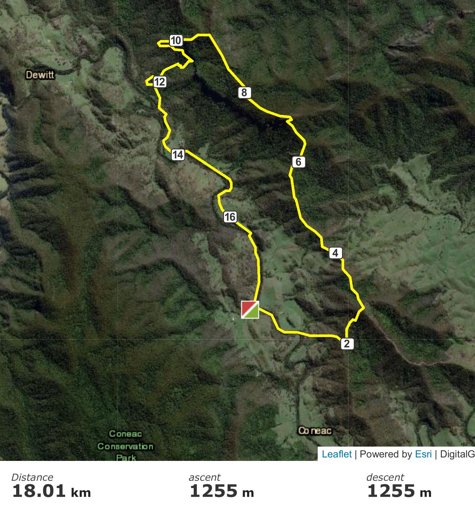
Woko National Park bushwalking. 18km, 12 hours. October, 2020
This was an exploratory (for me) walk, about half off-track, in which I made a mistake that could have been a bad one.
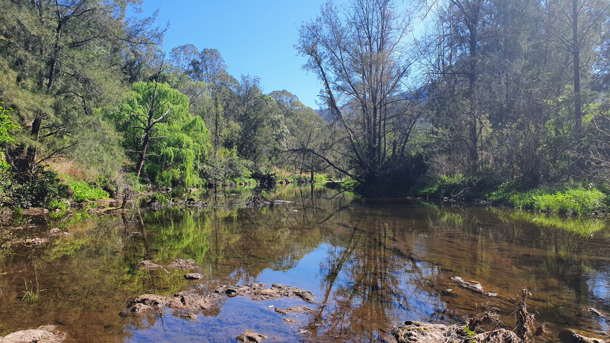
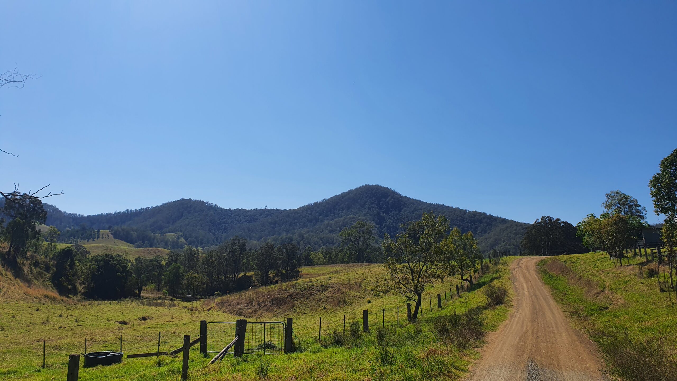
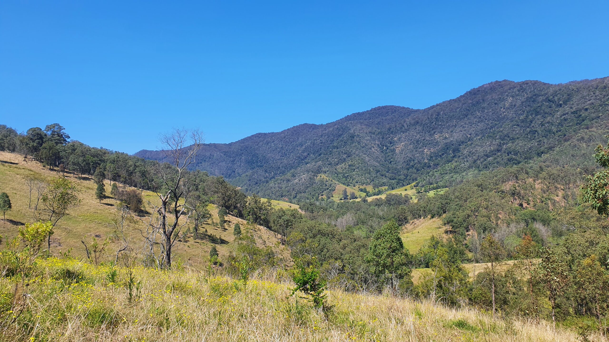
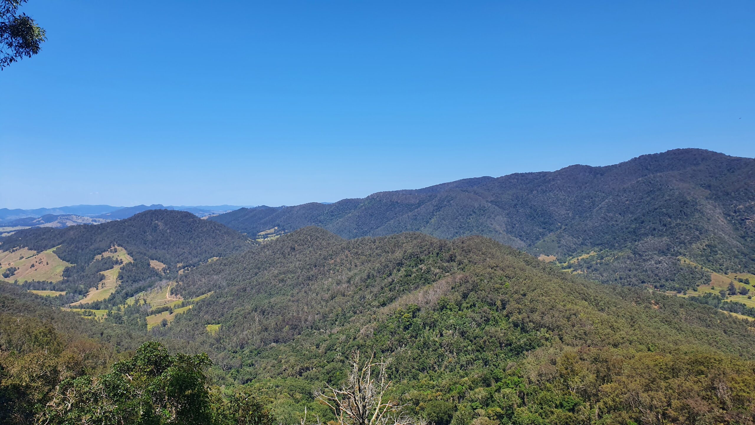
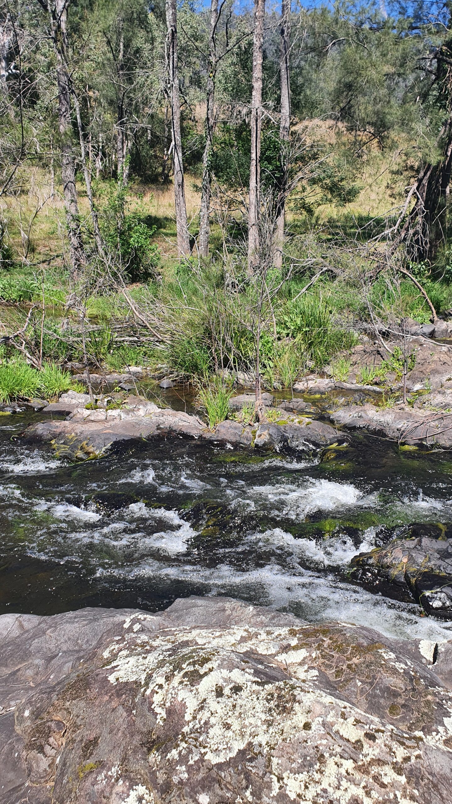
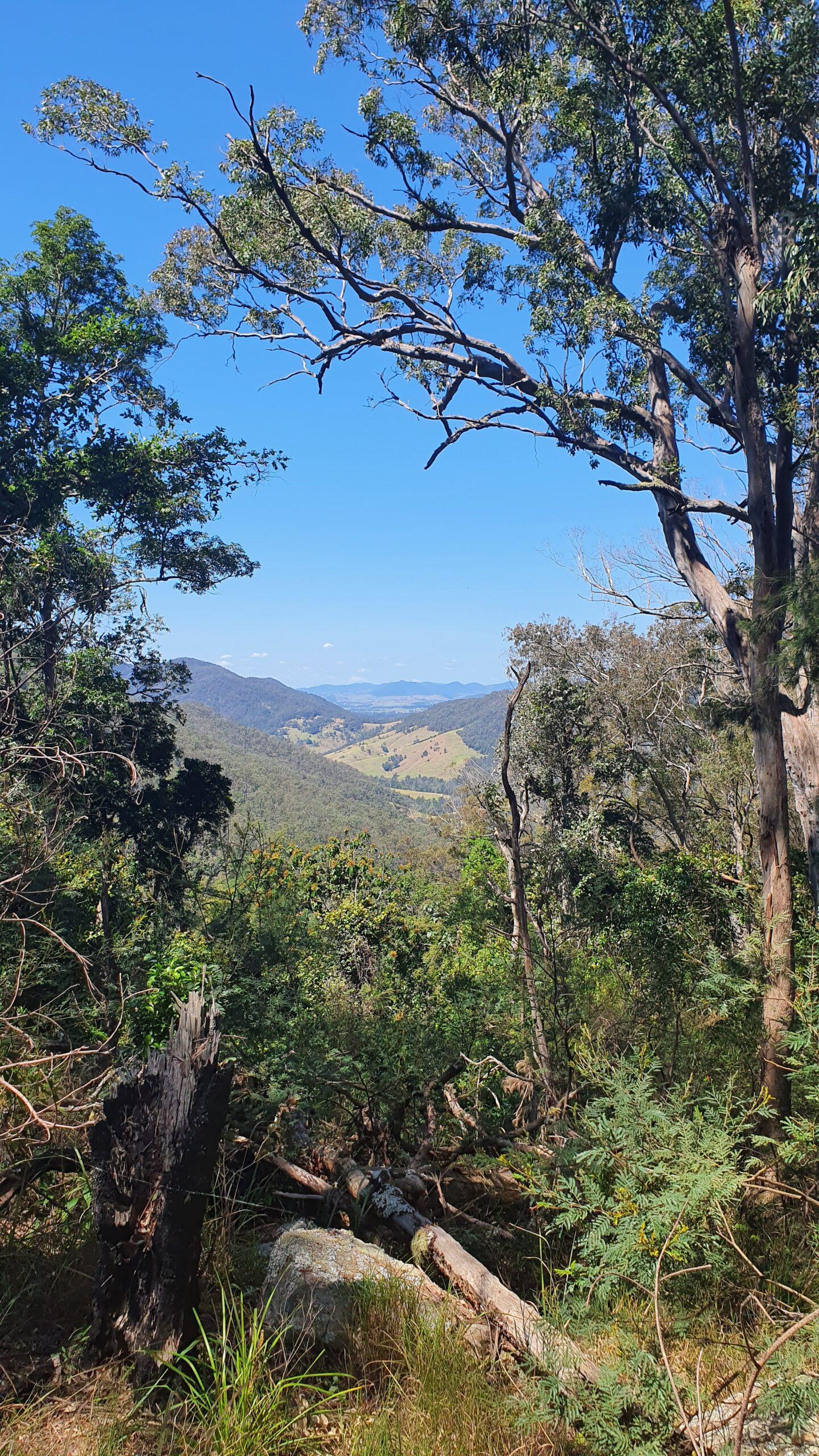
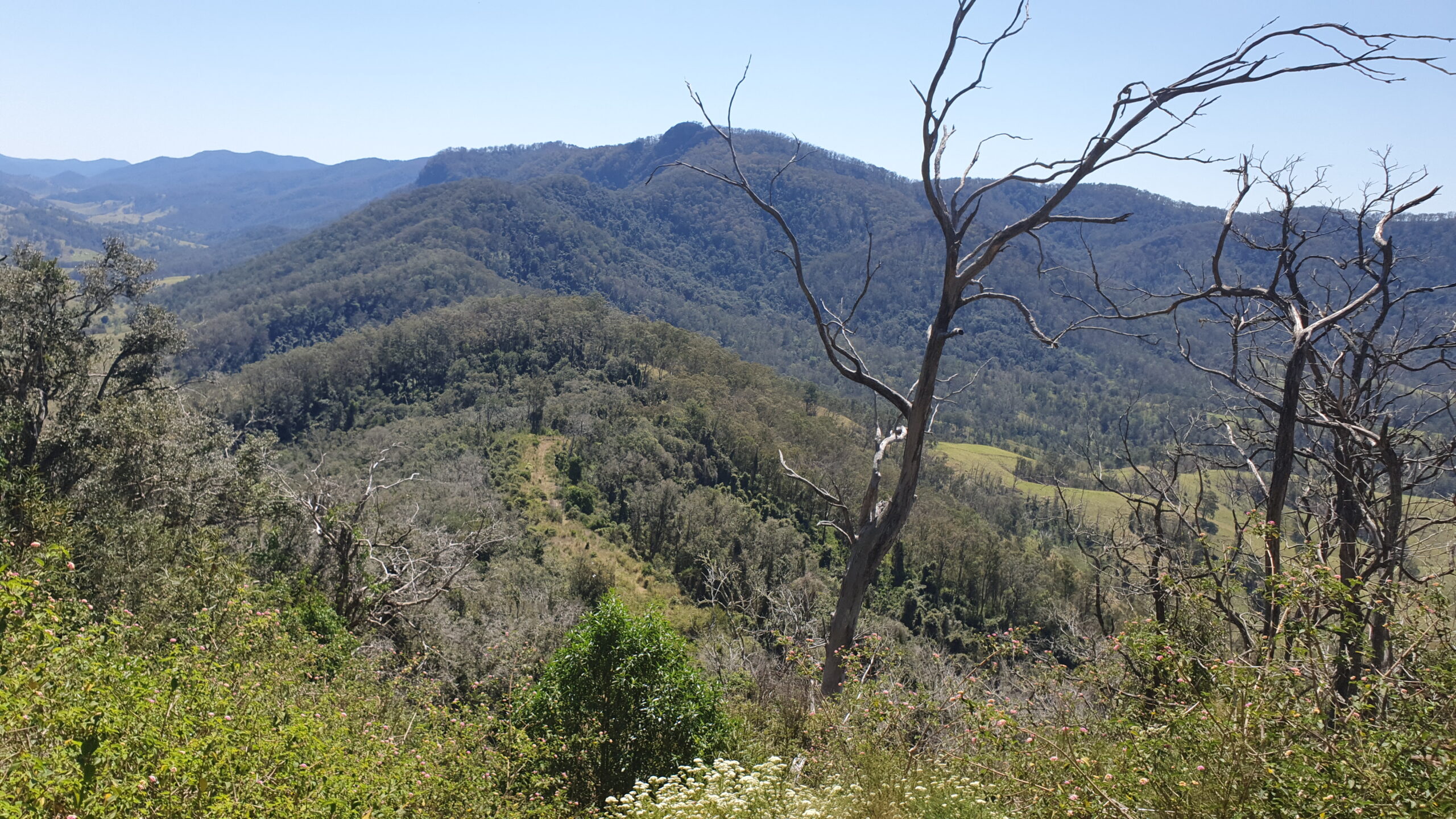
Woko National Park is about 30km drive from Gloucester in mid-northern NSW, close to Barrington Tops. I’ve often gazed at the row of peaks across the valley from my mother’s verandah but this was my first time exploring up there. It is said by locals that notorious fugitive Malcolm Naden used to use this route as a secret way in and out of the area while he was on the run from police.The start was a pleasant stroll through green farmland and a refreshing shoes-off crossing of the Little Manning River, still flowing strongly after winter rains. Sadly, the country is drying out again. Soon enough it was steeply uphill to climb the ridge that would give me access to the tops. There are no tracks marked on the map, but as my ridge is an obvious way up it is no surprise that landowners have made tracks up there. I soon found one of these tracks which made the steep going a bit easier. The top of the first hill, about 579m, afforded good views down the valleys to the south and west.
The next part of the walk took rough tracks along the ridge top following a fence line. I should note that this was private land. I had permission from the main owner whose property I crossed, but almost certainly trespassed on some other properties, albeit right on their boundary.
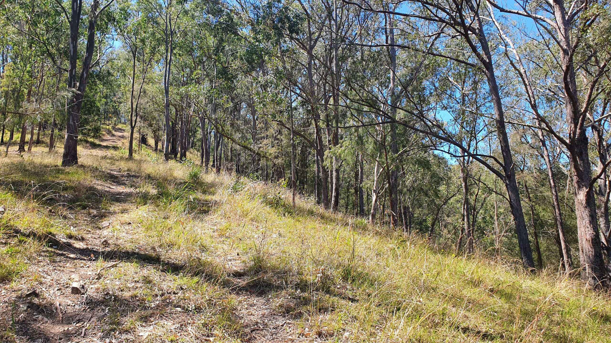
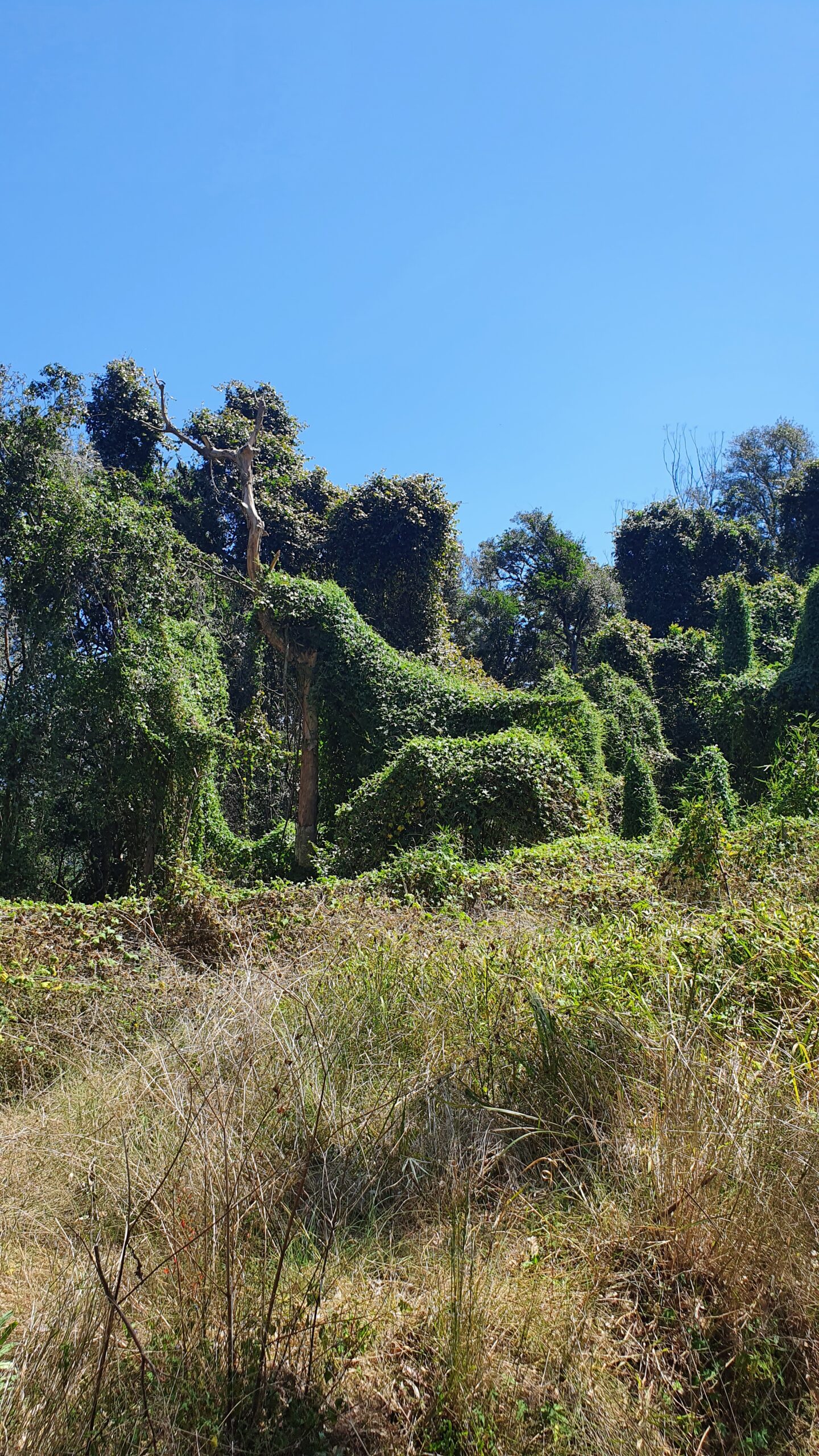
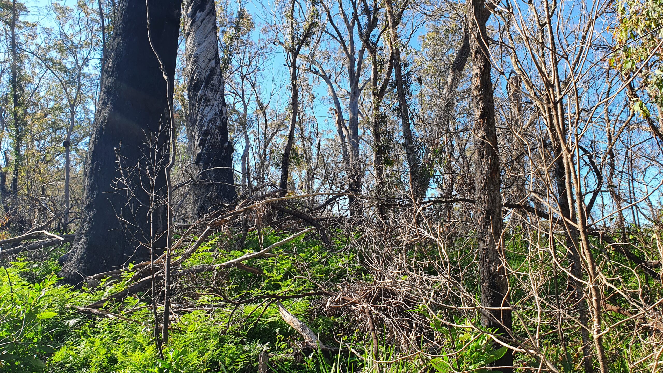
After about 5 undulating but mostly rising km I left the tracks and moved into untracked bushland and the Woko National Park. The scrub became very thick in places and pretty much every plant had thorns, stung, entangle, or some combination of the three. Often I had to wade through head-high thickets.
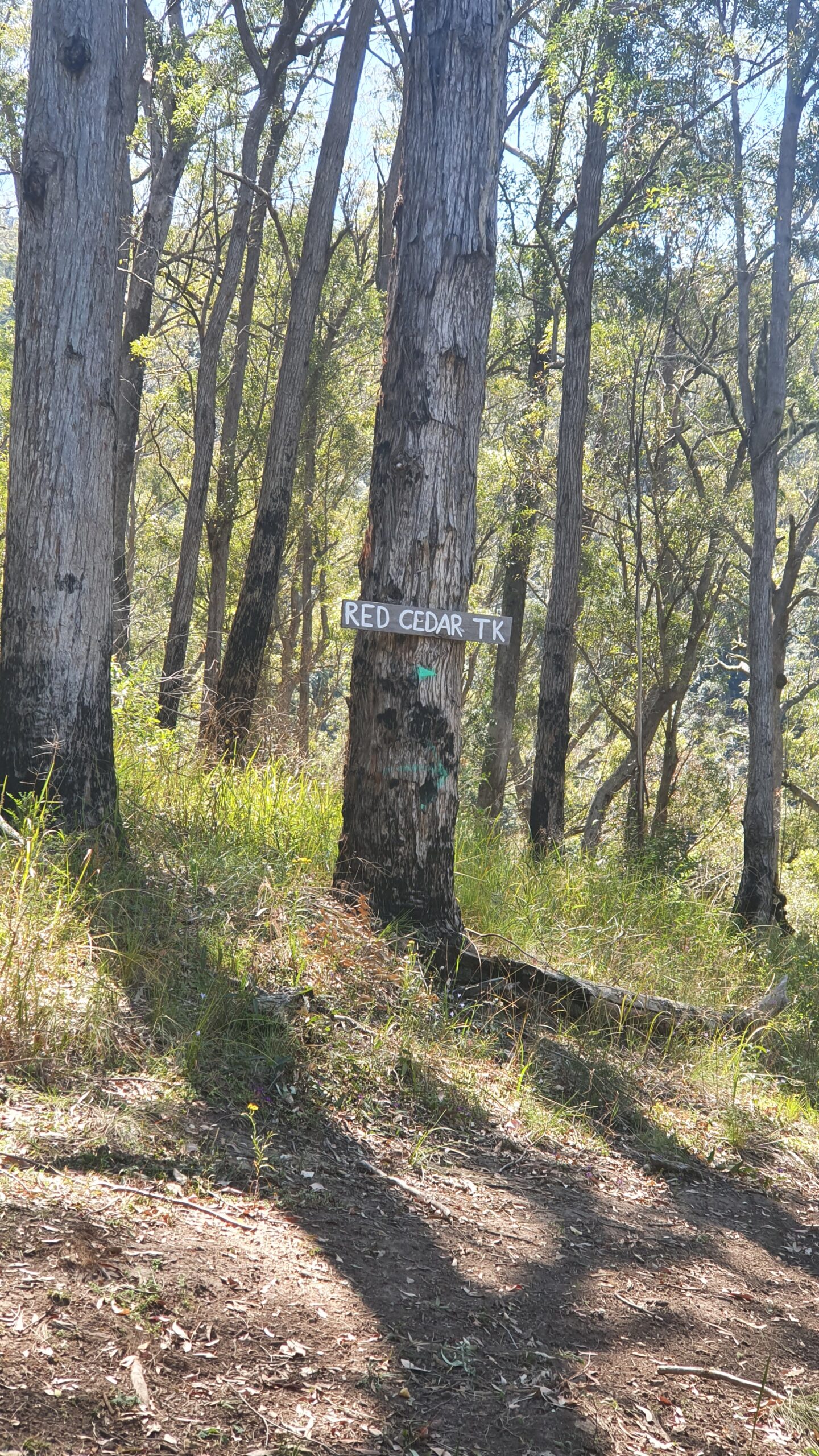
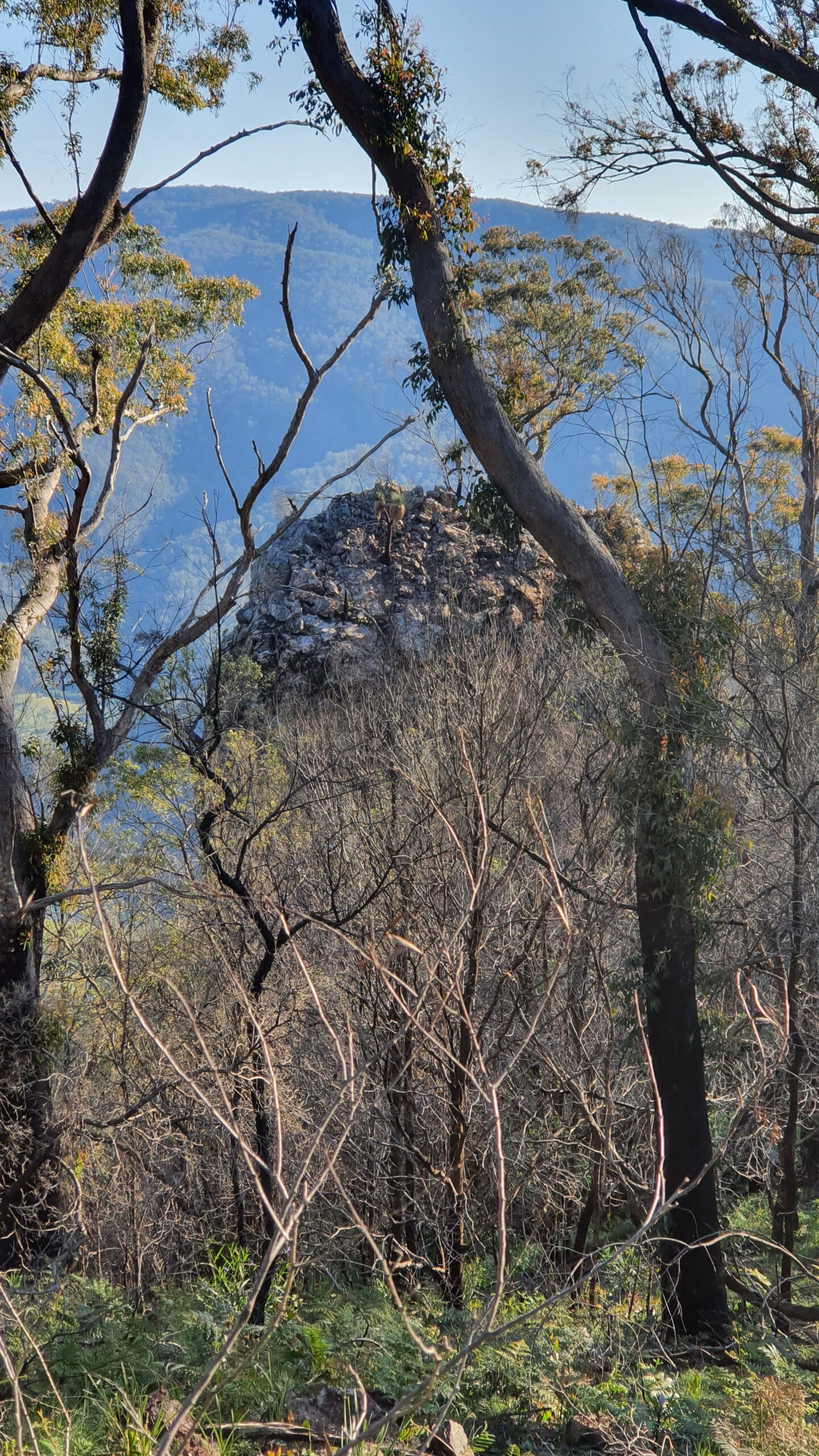
I sidled around a small cliff line to get access to the higher tops. None of the hills have names on the topo map, so I named them with whimsical, romantic fancies such as “peak 579”, “Peak 600”, “Peak 800”, “Twin Peaks 1 & 2” and “Final Peak”. These names were all entered as waypoints in my GPS – the Australia excellent Topo Maps App. The numbers refer to elevation.
Once up on the high ridgeline I had hoped the scrub would thin out, but in the numerous saddles between peaks it remained as thick, and vicious, as ever. Elsewhere it was clearer, but very rugged and rocky underfoot. It all made for slow-going and totally blew out my naïve estimate of “maybe 6 hours” for this walk.
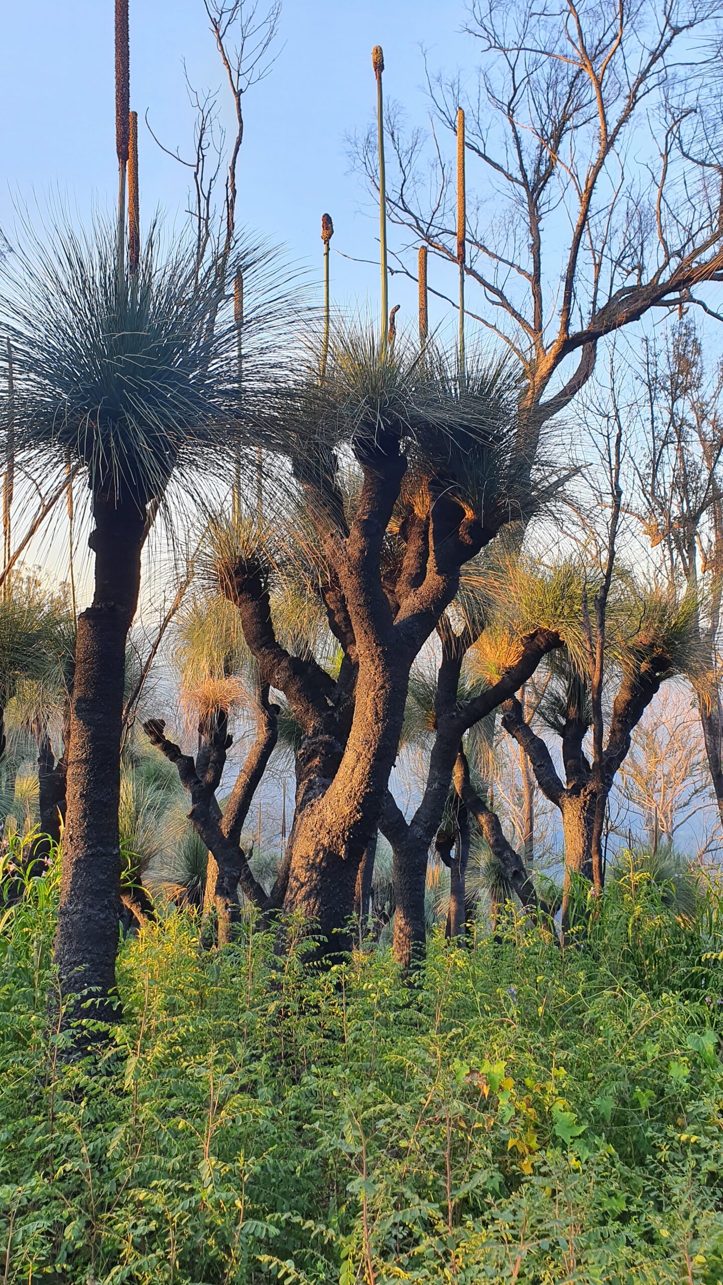
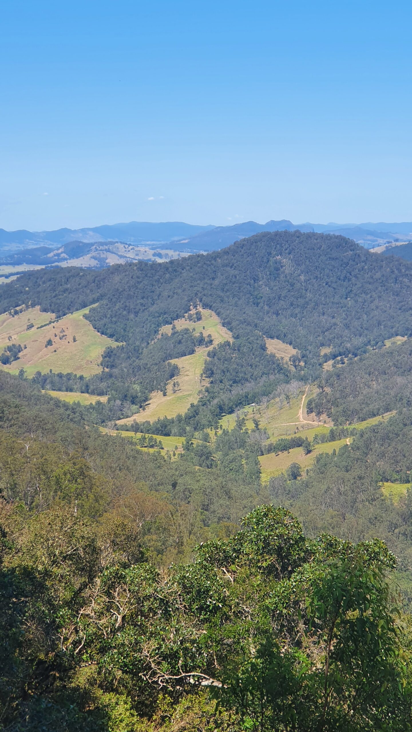
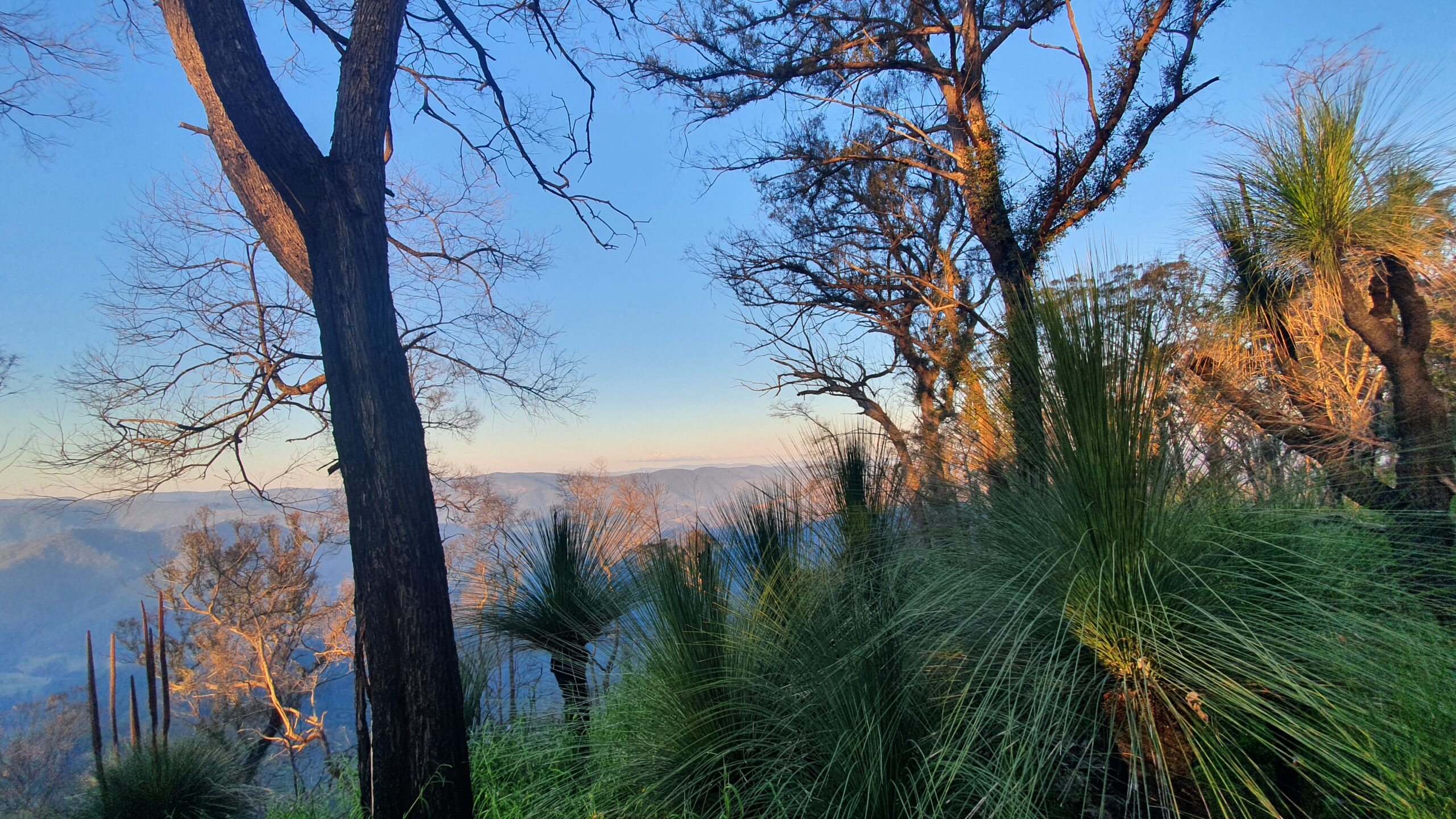
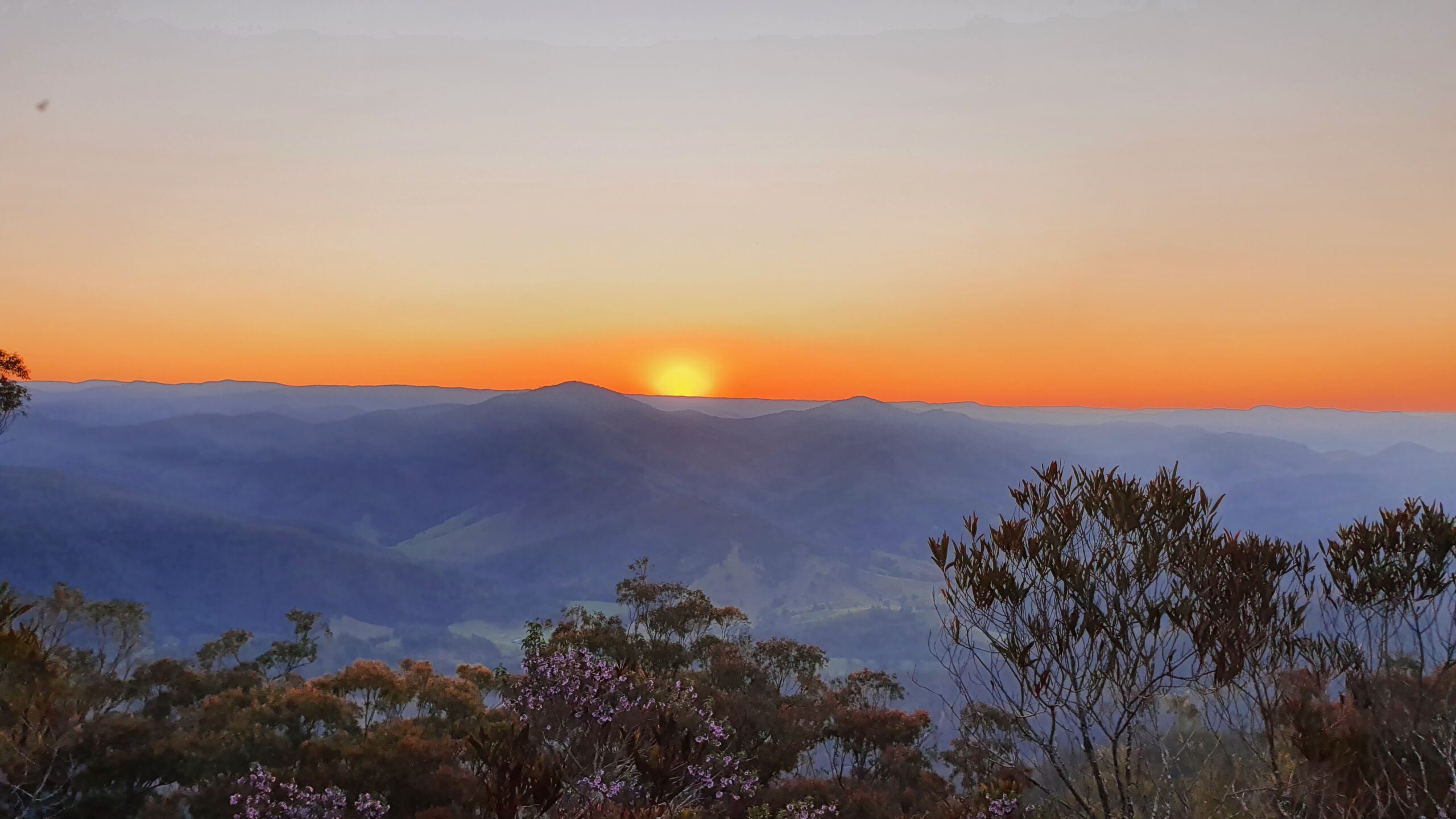
Some highlights included stunning views south, east, and west from various high spots, plenty of spring wildflowers, lush regrowth after the December fires (damage caused by the “Hill 400” fire), and a wonderful forest of ancient-looking grass trees on the final peak.
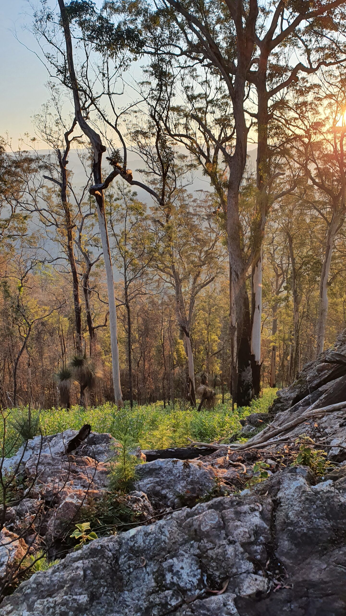
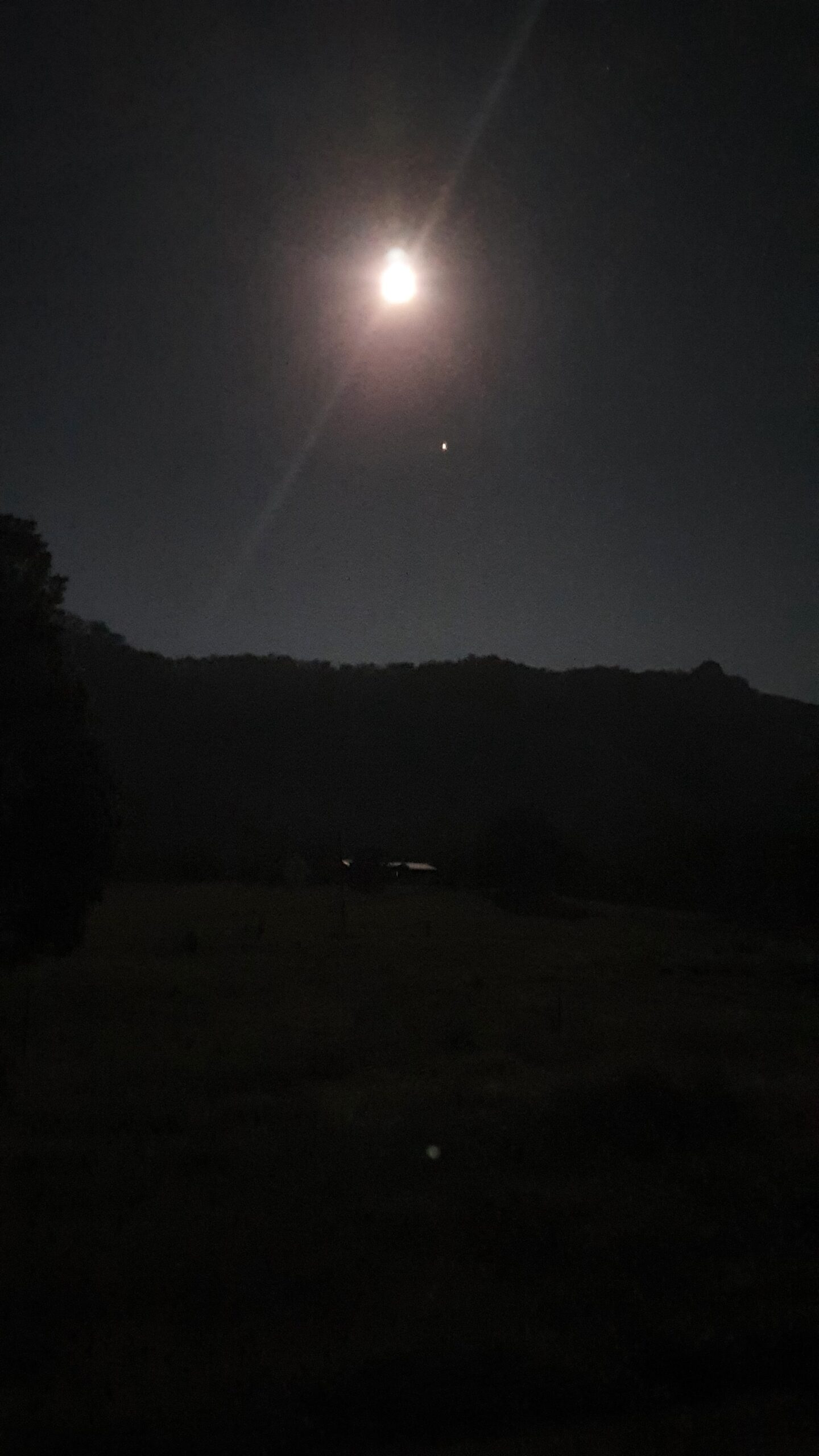
As afternoon gave way to dusk, it became obvious that I would have to make my descent in the dark. I’d have to perhaps scramble down a steep and unfamiliar slope in darkness – not ideal. But no matter, I had my headtorch and spare batteries. Only, I didn’t! I couldn’t believe it searched my pack three times, but sure enough my light wasn’t there.
I had been wearing it at the end of my last walk coming up Devil’s Hole at Katoomba and left it in the car. Stupid!
I didn’t check that I had it. Even stupider!
After a moment of panic (“I’m going to have to stay up here until dawn”, “my person I gave the walk details to might call the police etc, how embarrassing”), I remembered my phone has a quite strong torch. Also, I had a full power pack to recharge it that I’d brought because I was relying on the phone for GPS. Later on, a full moon helped a lot too. Still, it would mean only one hand to hold on and I really didn’t know for sure what lay ahead down that steep slope plunging alarmingly into the gloom ahead. I was a bit worried because, although my exit ridge showed no cliffs on the topo map, the area is cliffy and any wall less than 10m won’t show on the map.
I pressed on anyway, sidling around the one small cliff I did encounter. It was steep, dirty, and scratchy, but I made it down to intersect with the Cliff Face Track near Woko campground. The track is incorrectly marked on the topo map, but luckily not far off. From there it was an easy walk along the trail and then Curricabark Rd back towards the start. I was “rescued” as I walked along this road, gladly accepting a generous lift the last 1.5 km back to where I’d started in the morning.
A very challenging walk, but one that rewarded with spectacular views over beautiful landscape and a closeup look of some territory less-frequented by bushwalkers. Always double-check your gear before you head off.